Visiting Fåbro waterfall
The Lysaker river may only run 7.7 kilometers from the lake Bogstadvannet to the Oslofjord, but for centuries it has carried far more than water. It has been a border, a power source, a workplace, and a cradle of early Norwegian industry. Known in medieval times as Fáð, which means “fence” or “boundary”. The river has long marked the divide between what is today Oslo and Bærum. Its steep drops, narrow gorges, and reliable flow made it one of the region’s most valuable natural engines.
For generations, the river’s waterfalls powered sawmills, grain mills, and later factories. Names like Voksen mølle, Grini mølle, Barnengen Tekniske Fabrik, and Lysaker Kemiske Fabrik formed an industrial chain along the waterway. The river’s major falls are named Røafossen, Granfossen, Jarfossen, and Fåbrofossen, and they became strategic sites where landowners and entrepreneurs built dams, mills, and workshops that shaped local economic life. The river drops roughly 12 meters, creating a natural powerhouse. The combination of waterpower, timber supply, and proximity to the fjord made waterfall a perfect industrial hub.
By the 1800s, the Lysaker river was a bustling industrial corridor. Timber floated down from Sørkedalen, mills processed goods for export, and the riverbanks filled with worker housing, workshops, and transport routes. Even today, remnants of old dams, foundations, and mill races can be found along the hiking paths that follow the river’s course.
Among the river’s most iconic industrial sites is Fåbrofossen (Fåbro waterfall), also called Granfossen (Gran waterfall) is one of the Lysaker river’s most powerful waterfalls. The name Granfossen comes from the industrial site Granfos Brug, a wood‑pulp mill established by the waterfall. This was the major industrial facility that operated beside the waterfall from 1869 to 1981. The older, original name of the waterfall was Fåbrofossen (or Fåbrufossen). The modern name is not the original geographic name. The factory’s presence became so dominant that the waterfall gradually took on the same name.
Before industrialization, the waterfall was known as Fåbrofossen (also spelled Fåbrufossen). This older name is tied to Fåbro, which is a historic crossing point over the river. The old river name Få (from Old Norse Fǫð/Fað), meaning "fence" or “boundary”, reflecting that Lysakerelva has long formed the border between Oslo and Bærum.
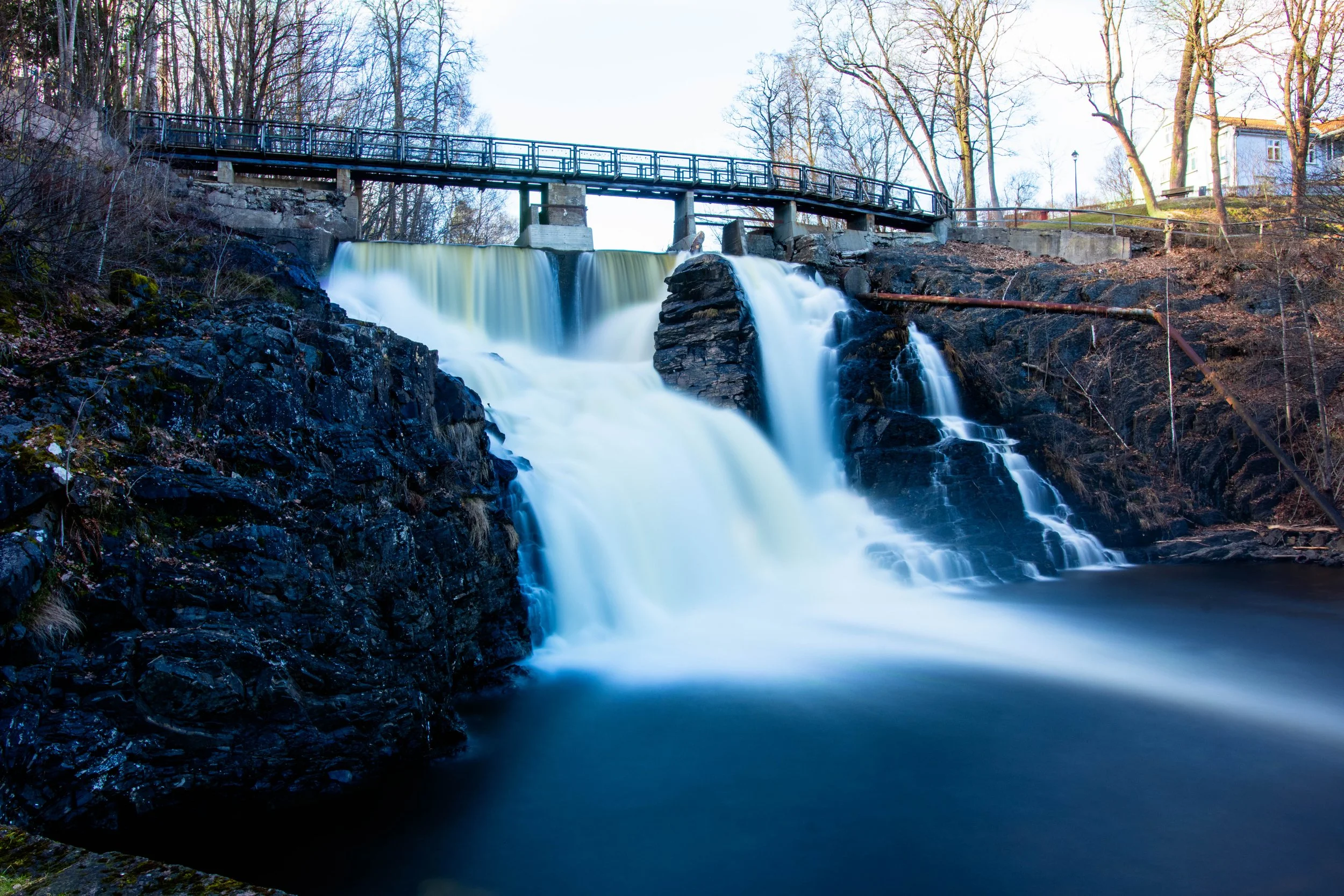
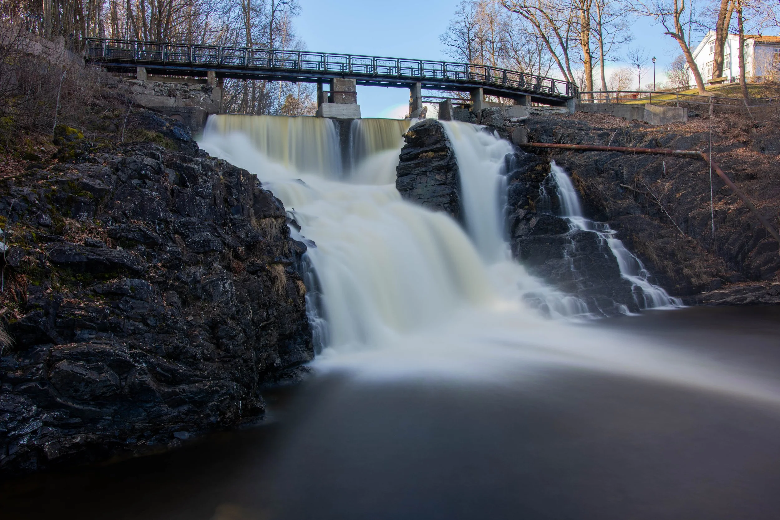
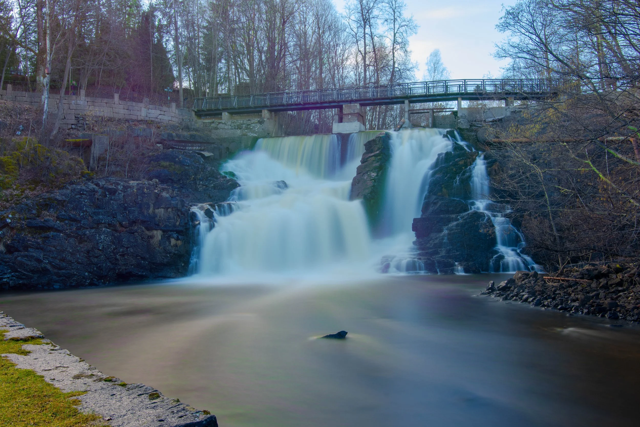
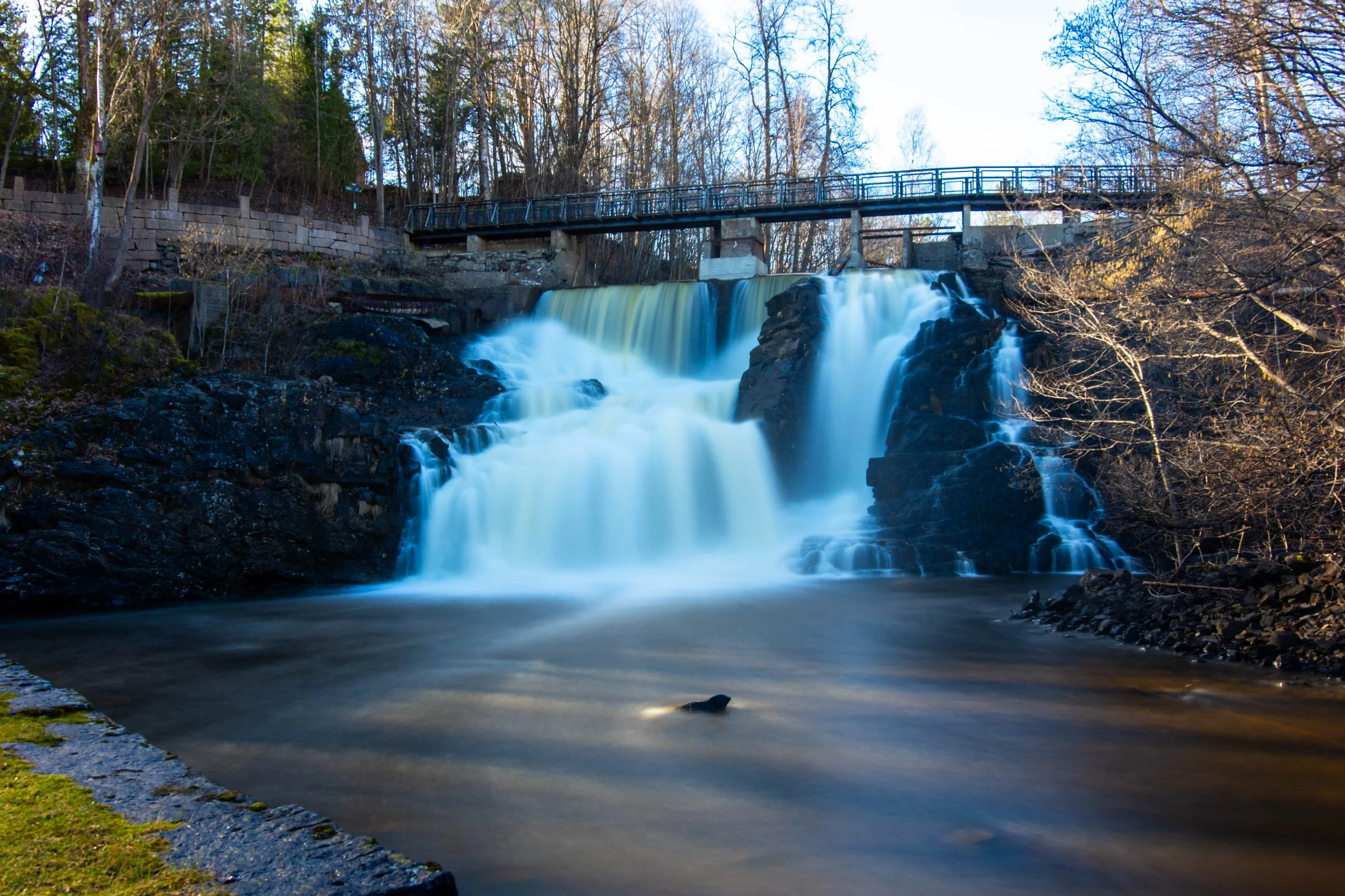
What makes Fåbro waterfall especially compelling, both historically and photographically, is the contrast between raw natural power and human engineering. The steep canyon walls, the thunder of the falls, and the remnants of industrial structures tell a layered story: how the river shaped people’s lives, and how people shaped the river in return.
For photographers, hikers, and history enthusiasts, Granfossen is a place where industrial archaeology meets wild nature. The river still roars through the gorge, but the old industrial sites have softened into the landscape. Walking the trails around Granfossen, you can trace centuries of innovation, labor, and adaptation—an entire chapter of Norwegian industrial history written into the rock and water.
Today I took some pictures at the waterfall Granfossen. I used a ND1000-filter, which enabled long exposure times. The use of filters are described in Einar’s introduction to photography that I have published on this site. Use left nd right controls to move between the images.